


Geespace Low-Altitude Mobility Solution
For multi-scenario applications in the low-altitude economy, Geespace leverages its LEO satellite IoT communication network to build a full-airspace intelligent connectivity platform. It provides continuous cross-regional communication, identity authentication, and status monitoring for various aerial vehicles such as drones and eVTOLs, overcoming the limitations of terrestrial networks. This enables flight safety supervision, operational management, and cross-regional route operation, laying the foundation for a future-oriented low-altitude intelligent network infrastructure.
Solution Partnership

The Challenge
01
Cross-Regional Flight Communication Challenges
Low-altitude flights cover urban, suburban, mountainous areas, and cross-provincial routes. Terrestrial networks have blind spots and weak coverage, making it difficult to ensure continuous online connectivity and stable communication for aerial vehicles.
02
Flight Status Monitoring Challenges
Most current aerial vehicles rely on local or short-range links for status data. During cross-regional operations, it is difficult to achieve real-time, continuous, and traceable status monitoring.
03
Aerial Vehicle Identity Management Challenges
With the rapid growth of drones, there is a lack of a unified, remotely verifiable identity authentication system, putting pressure on airspace management and safety supervision.

Geespace Low-Altitude Mobility Solution
01
Aerial Vehicle Asset Management
02
Flight Mission and Link Assurance Management
03
Cross-Regional Route Operation Support
04
Unmanned Cargo Tracking
05
Emergency Search and Rescue & Beacon Support
06
Flight Data Closed-Loop & Mission Replay
07
Low-Altitude Weather Services
Related Products
Related Products
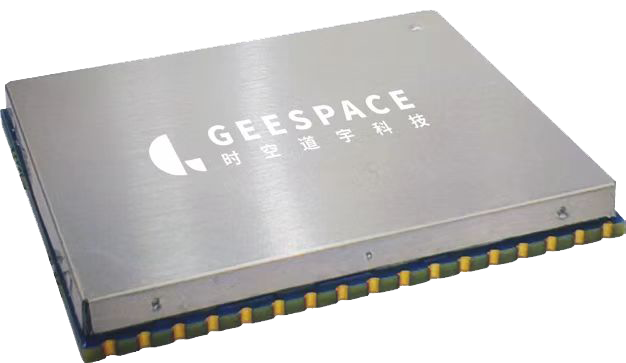
GM1001-F GEESATCOM Satellite Communication Module
Learn More
GT1001 Geesatcom DTU
Learn More

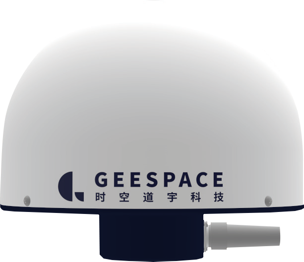
GT1003 GEESATCOM Compact
Learn More