


Geespace Smart Forestry & Grassland Solution
Low-Earth Orbit Satellites' Full-domain Communication Capability Empowers the Construction of an Integrated "Space-air-ground" Sensing Network
By building a key infrastructure for the digital transformation of the forestry and grassland industry, it overcomes the limitations of terrestrial network coverage, enabling the industry to shift from "localized monitoring" to full-domain perception and from "post-event response" to preemptive prevention, thereby supporting resource conservation, disaster prevention and sustainable development.
Solution Partnership
By building a key infrastructure for the digital transformation of the forestry and grassland industry, it overcomes the limitations of terrestrial network coverage, enabling the industry to shift from "localized monitoring" to full-domain perception and from "post-event response" to preemptive prevention, thereby supporting resource conservation, disaster prevention and sustainable development.

The Challenge
Overcoming geographical limitations, the forestry and grassland monitoring and supervision is transitioning from “extensive” to “refined”, enabling more precise sensing of the sector’s “pulse”.
01
Challenges of Terrestrial Network Coverage
Due to the vast areas and complex terrain of forests and grasslands, existing terrestrial networks cannot achieve full coverage.
02
Challenges in Data Reliability
Due to the vast areas and complex terrain of forests and grasslands, existing terrestrial networks cannot ensure reliable coverage.
03
Data Fragmentation
Monitoring data is dispersed across different departments, which easily leads to the formation of data silos.

Geespace Smart Forestry & Grassland Solution
01
Forest and Grassland Fire Risk Monitoring
Full-domain coverage, stable and reliable
02
Monitoring of Forest and Grass Ecological Environment
Full-domain coverage, stable and reliable
03
Monitoring of Wildlife Conservation
Refined monitoring, flexible deployment
04
Forest and Grass Patrol Inspection
Efficient coordination, secure guarantee
Related Products
Related Products
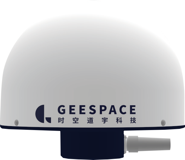
GT1001 Geesatcom DTU
Learn More

GH1001 Geesatcom Handset
Learn More

GT1002 Geesatcom Solar
Learn More

GT1003 GEESATCOM Compact
Learn More
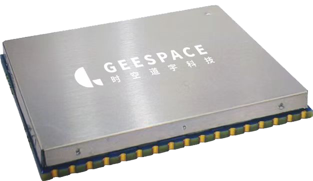
GM1001-F GEESATCOM Satellite Communication Module
Learn More